The Most Urbanized States
- New York. Population: 19,453,561
- New Jersey. Population: 8,882,190
- California. Population: 39,512,223
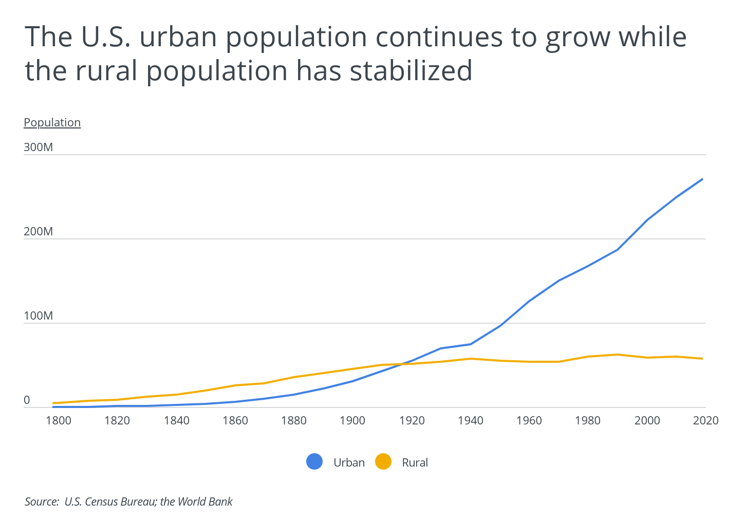
The COVID-19 pandemic has punctuated an otherwise steady trend towards increased urbanization in the U.S. that began over two centuries ago. While urban areas account for just over 3% of American land, they are home to more than 80% of the population. The U.S. urban population has increased rapidly since the late 1800s and overtook the rural population over a century ago. Since the early 1900s, we have seen the density of skyscrapers across the United States increase exponentially, with cities such as New York and Chicago serving as home to a number of impressive high-rises. However, this pattern may not hold in the coming years. With the rise in working from home seen during the pandemic, many city-dwellers are rethinking their location and moving to more affordable (and less crowded) parts of the country.
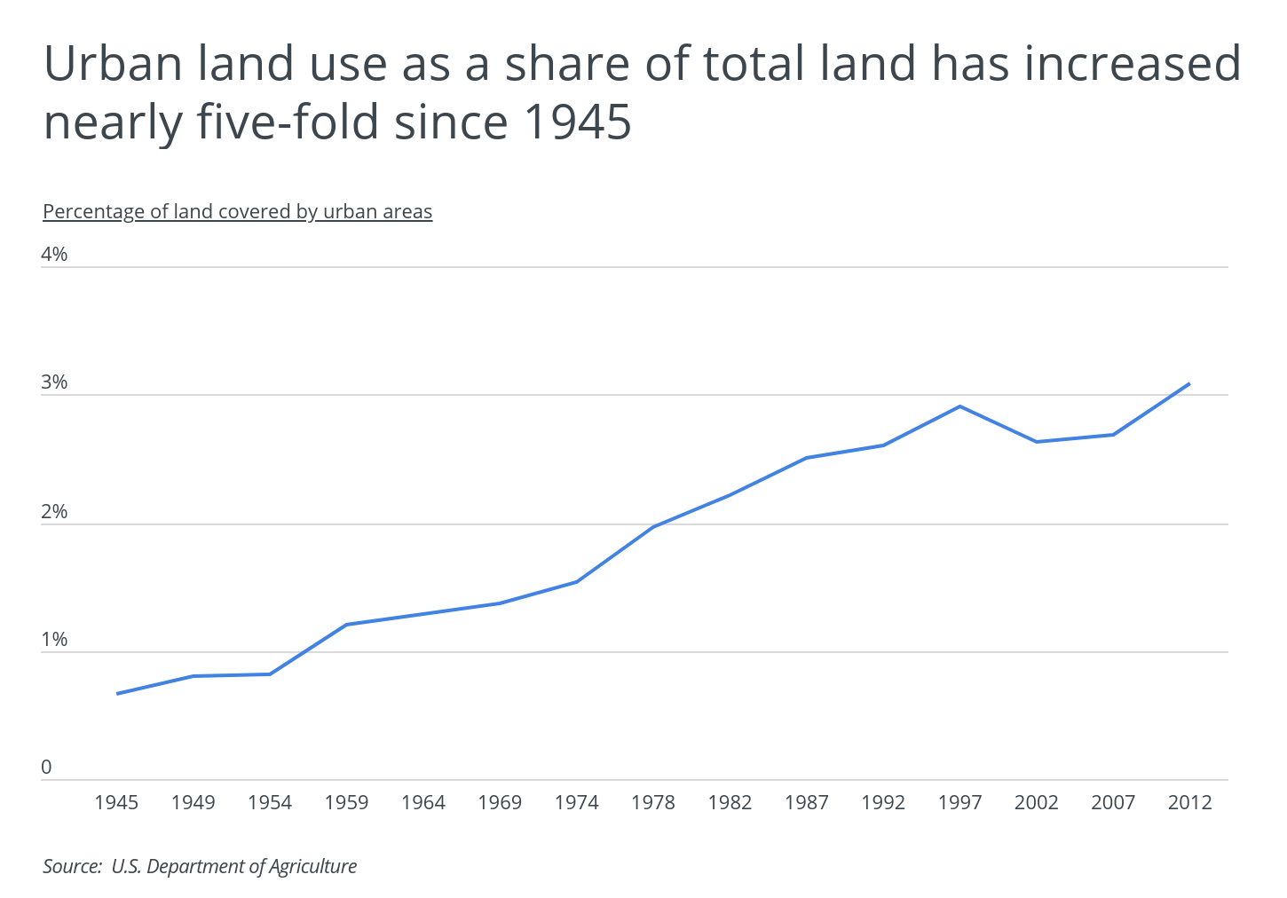
While the share of U.S. soil marked by urban landscapes represents just a small fraction of total land area, urban land use has grown substantially since 1945 when it accounted for only two-thirds of a percent. As of 2012, the amount of land covered by urban areas had grown to nearly 70 million acres, representing 3.1% of total land area. However, urban land use and urban growth are not distributed evenly throughout the country.
RELATED
A wood fence can provide your home with a little extra privacy while increasing its resale value. Read more about wood fences, and use our wood fence cost calculator to begin planning your installation.
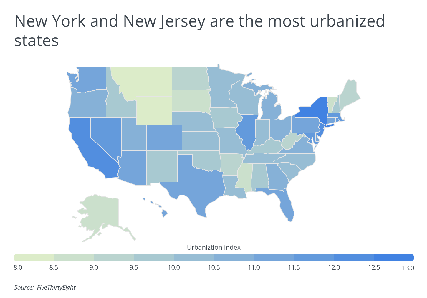
To find the most urbanized states, researchers at Porch analyzed the latest data from FiveThirtyEight, the U.S. Department of Agriculture, and the U.S. Census Bureau. The researchers ranked states according to FiveThirtyEight’s urbanization index. The index calculation is based on the average number of people living within a small radius of each census tract; a weighted average is then calculated to create a state-level index. This method of calculation better reflects population clustering, giving it an advantage over a simple population density or urban land use measure. Researchers also included the urban land area percentage of total, the population density, and the total population.
Here are the most urbanized states in the U.S.
The Top 15 Most Urbanized States
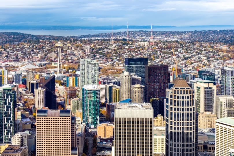
Photo Credit: Alamy Stock Photo
15. Washington
- Urbanization index: 11.12
- Urban land area percentage of total: 3.7%
- Population density (per square mile): 114.6
- Population: 7,614,893
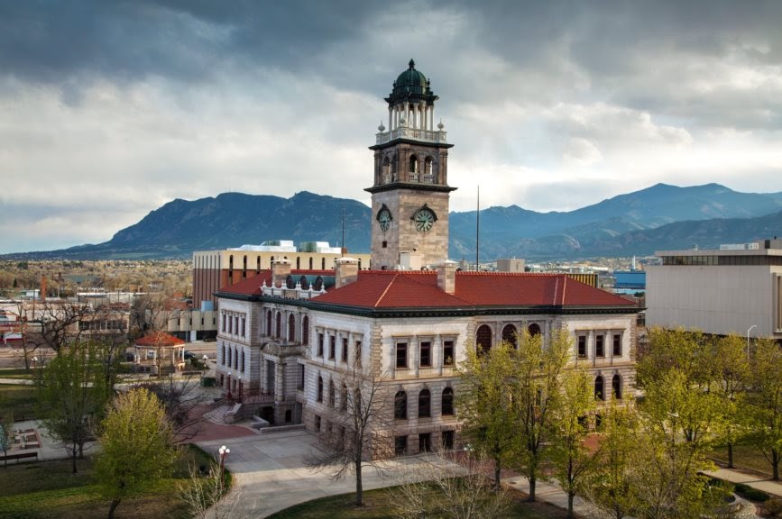
Photo Credit: Alamy Stock Photo
14. Colorado
- Urbanization index: 11.15
- Urban land area percentage of total: 1.5%
- Population density (per square mile): 55.6
- Population: 5,758,736

Photo Credit: Alamy Stock Photo
13. Pennsylvania
- Urbanization index: 11.15
- Urban land area percentage of total: 10.7%
- Population density (per square mile): 286.1
- Population: 12,801,989
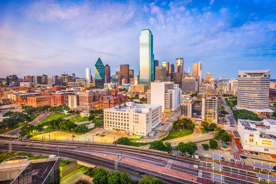
Photo Credit: Alamy Stock Photo
12. Texas
- Urbanization index: 11.17
- Urban land area percentage of total: 3.5%
- Population density (per square mile): 111.0
- Population: 28,995,881
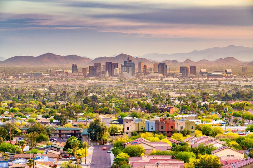
Photo Credit: Alamy Stock Photo
11. Arizona
- Urbanization index: 11.30
- Urban land area percentage of total: 2.0%
- Population density (per square mile): 64.1
- Population: 7,278,717
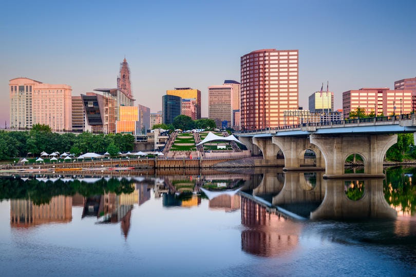
Photo Credit: Alamy Stock Photo
10. Connecticut
- Urbanization index: 11.41
- Urban land area percentage of total: 38.0%
- Population density (per square mile): 736.3
- Population: 3,565,287
DID YOU KNOW?
You can find detailed guides with cost information and reviews for myriad home improvement projects with Porch. For example, find out what the labor cost to install a water heater would be or what a tile floor replacement would cost.
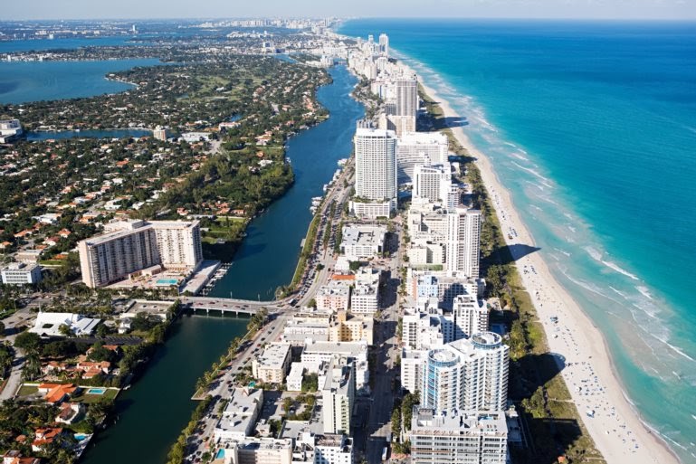
Photo Credit: Alamy Stock Photo
9. Florida
- Urbanization index: 11.46
- Urban land area percentage of total: 14.3%
- Population density (per square mile): 400.5
- Population: 21,477,737
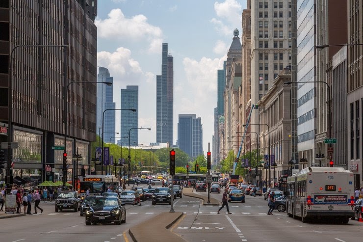
Photo Credit: Alamy Stock Photo
8. Illinois
- Urbanization index: 11.62
- Urban land area percentage of total: 7.2%
- Population density (per square mile): 228.2
- Population: 12,671,821
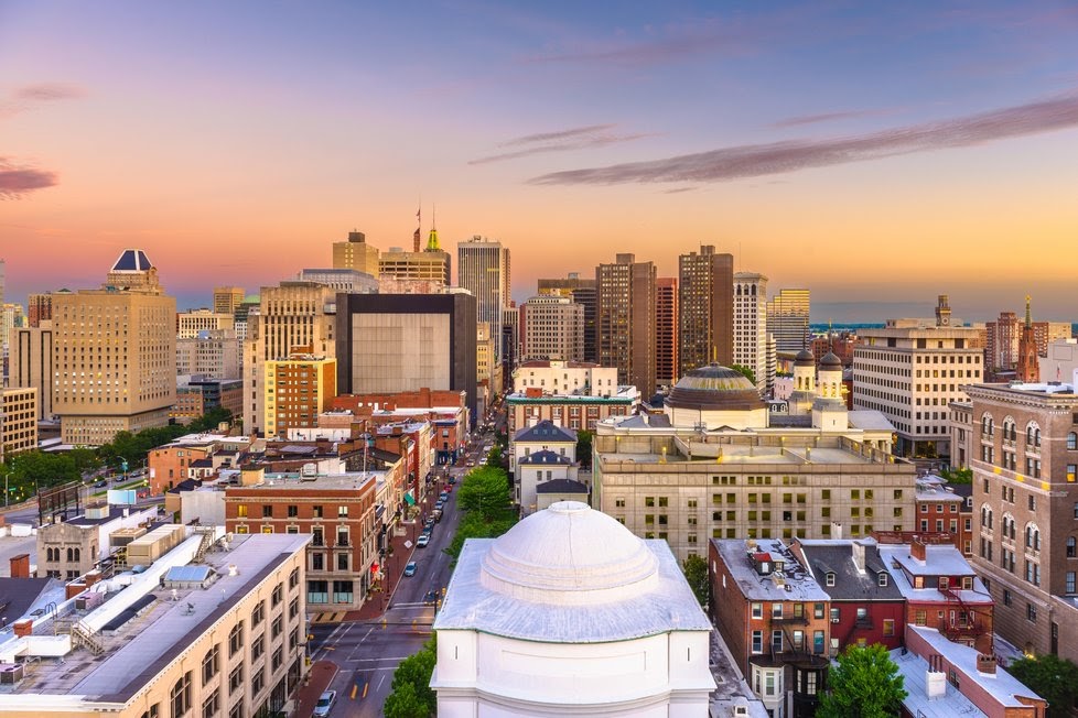
Photo Credit: Alamy Stock Photo
7. Maryland
- Urbanization index: 11.71
- Urban land area percentage of total: 21.1%
- Population density (per square mile): 622.8
- Population: 6,045,680
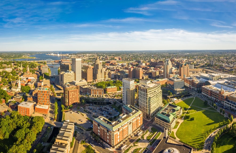
Photo Credit: Alamy Stock Photo
6. Rhode Island
- Urbanization index: 11.72
- Urban land area percentage of total: 39.0%
- Population density (per square mile): 1,024.5
- Population: 1,059,361
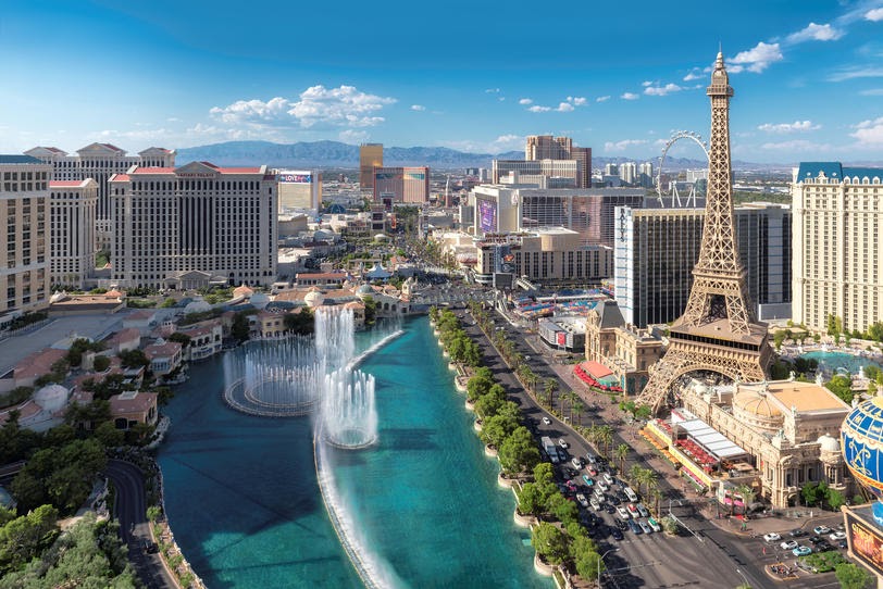
Photo Credit: Alamy Stock Photo
5. Nevada
- Urbanization index: 11.77
- Urban land area percentage of total: 0.7%
- Population density (per square mile): 28.1
- Population: 3,080,156

Photo Credit: Alamy Stock Photo
4. Massachusetts
- Urbanization index: 11.84
- Urban land area percentage of total: 38.8%
- Population density (per square mile): 883.7
- Population: 6,892,503
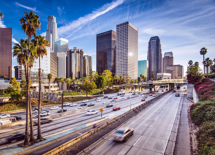
Photo Credit: Alamy Stock Photo
3. California
- Urbanization index: 12.19
- Urban land area percentage of total: 5.3%
- Population density (per square mile): 253.6
- Population: 39,512,223
TRENDING
Is the outside of your home starting to look a little dingy? Instead of a new paint job, your home might only need a good wash. You can hire a professional to do it or rent a power washer yourself. So, how much does it cost to power wash a house?
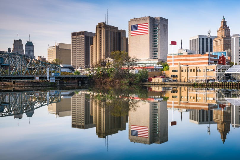
Photo Credit: Alamy Stock Photo
2. New Jersey
- Urbanization index: 12.24
- Urban land area percentage of total: 40.1%
- Population density (per square mile): 1,207.8
- Population: 8,882,190
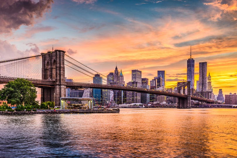
Photo Credit: Alamy Stock Photo
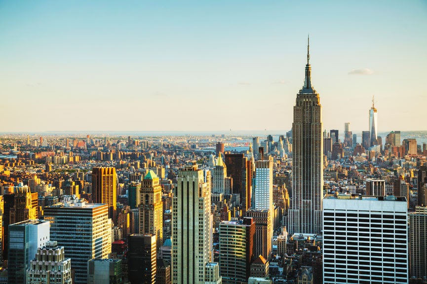
1. New York
- Urbanization index: 12.56
- Urban land area percentage of total: 8.7%
- Population density (per square mile): 412.8
- Population: 19,453,561
Detailed Findings & Methodology
When looking at the distribution and density of populations, the most urbanized states in the country are New York, New Jersey, and California. But among the most urbanized states, urban land area as a percentage of total as well as population density vary significantly.
In general, urban land area and population density are tightly coupled (states in which urban areas make up a larger percentage of total have higher population densities), but neither metric is well correlated with the urbanization index. In practice, a state can have a highly urbanized population, but also contain large rural areas and a relatively low overall population density (e.g. Nevada). At the same time, states like New Jersey, Massachusetts, and Rhode Island also have highly urbanized populations, but don’t have as much rural land. As a result, all three also have high overall population densities.
Wyoming and Montana are the least urbanized states, with urbanizations indexes under 8.5. Both of these states have just 0.2% of their land covered by urban areas and overall population densities of less than 10 people per square mile.
To find the most urbanized states, researchers at Porch analyzed the latest data from FiveThirtyEight, the U.S. Department of Agriculture, and the U.S. Census Bureau. The researchers ranked states according to FiveThirtyEight’s urbanization index, which is calculated from the average number of people living within a five-mile radius of each census tract. From the USDA data on land uses and the Census population data, researchers also calculated the urban land area percentage of total and the population density (per square mile) for each state.


